
 01
01AZANSYS DRONE SERVICES
Aerial insight for
every kind of challenge
Practical aerial services, planned around the result you need.
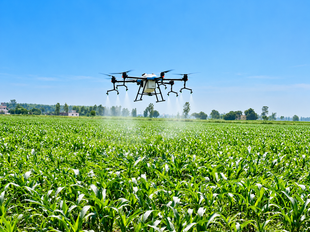
Drone services for agriculture, surveying, mapping, inspection and industrial operations — planned around the result you need, not just the flight.
360°Aerial Insight
4+Service Areas
End-to-EndDelivery
24/7Support
WHAT WE DO
Aerial intelligence for real operational work.
Every project has a different goal. We match the right platform and workflow to the task, then turn the flight into information your team can act on.
OUR SERVICES
Explore Our Capabilities
Purpose-built drone solutions for agriculture, infrastructure and industrial teams.
HOW WE WORK
From mission planning
to meaningful insight.
A straightforward process built around your objectives and deliverables.
Understand the mission
We start with your goals, your site and the deliverables you need.
Plan the approach
We select a suitable platform, payload and flight workflow.
Deliver insight
We hand over the maps, data or reports in a format your team can use.
LET'S PLAN YOUR NEXT MISSION
Have a challenge in mind?
Tell us what you need to achieve and our team will help you explore the right drone solution for the project.