
AZANSYS SURVEY & MAPPING
Survey & Mapping
Drone Solutions
Centimetre-accurate aerial data
Capture accurate, GIS-ready site data faster with drone survey and mapping — RTK/PPK positioning, photogrammetry and 3D modelling for construction, mining, land records and infrastructure.
RTK/PPKCentimetre Accuracy
2D & 3DDeliverables
GIS-ReadyData Output
FastSite Turnaround
ABOUT SURVEY & MAPPING
Survey-grade data,from take-off to deliverable
Capture accurate, GIS-ready site data faster with drone survey and mapping. Using RTK/PPK positioning, photogrammetry and 3D modelling, we turn aerial imagery into measurable deliverables for construction, mining, land records and infrastructure.
Every mission is planned around your required accuracy and the decisions the data needs to support — from topographic surveys and earthwork tracking to stockpile volumetrics and corridor mapping.
The result is reliable site intelligence that plugs directly into your GIS, CAD and BIM workflows.
- RTK/PPK positioning for centimetre-level accuracy
- Orthomosaics, DEM/DSM, point clouds and 3D models
- GIS, CAD and BIM-ready deliverables
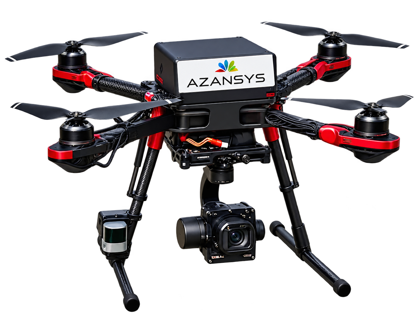
KEY CAPABILITIES
Survey-grade data,from take-off to deliverable
Everything needed to capture, process and deliver accurate site data — in one workflow.
View SpecificationsSURVEY & MAPPING USE CASES
Accurate aerial datafor every project
Practical survey and mapping applications across construction, mining, land and infrastructure.
TECHNICAL SPECIFICATIONS
Survey platforms built for accurate mapping.
Representative capabilities for our survey and mapping solutions — confirm the exact configuration with the AZANSYS team.
Survey & Mapping
- Positioning
- RTK / PPK centimetre-level accuracy
- Deliverables
- Orthomosaic, DEM/DSM, point cloud, 3D model
- Data formats
- GeoTIFF, LAS/LAZ, DWG/DXF, OBJ, PDF
- Coverage
- Scalable from small sites to large areas
- Flight planning
- Automated grid & corridor missions
- Output accuracy
- 1–3 cm relative accuracy (site-dependent)
- Processing
- Photogrammetry & 3D reconstruction
- Integration
- GIS, CAD and BIM-ready datasets
IN THE FIELD
Aerial survey in action.
Drone data capture supporting survey, mapping and site documentation.
FREQUENTLY ASKED QUESTIONS
Have questions?We have answers.
Common questions about AZANSYS survey and mapping drone solutions.
Talk to Our TeamWhat can drone survey and mapping deliver?
Deliverables include orthomosaics, digital elevation models (DEM/DSM), point clouds, 3D models and contour maps — ready for GIS, CAD and BIM workflows.
How accurate is drone mapping?
With RTK/PPK positioning, survey-grade drone mapping can reach centimetre-level accuracy. Final accuracy depends on ground control, terrain and site conditions.
Which file formats do you provide?
Common formats include GeoTIFF, LAS/LAZ, DWG/DXF, OBJ and PDF. Tell us your preferred format and we will match it.
How large an area can you survey?
Coverage is scalable — from small sites to large areas — using automated grid and corridor flight plans.
Do you operate as per DGCA rules?
Yes. Survey operations are planned and flown in compliance with DGCA regulations and applicable airspace requirements.
MAP YOUR SITE WITH CONFIDENCE
Accurate data,for better decisions.
Share your site and the deliverables you need — our team will help you plan the right survey and mapping solution.